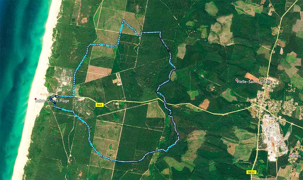
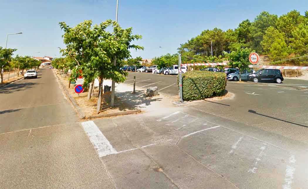
We start our route at the car park on the straight road leading to the beach. You can't miss it: on the road that connects Saint-Girons with the beach of the same name, the entrance to the car park is located just past the roundabout, on the right hand side.
To start the walk, take the path opposite the entrance to the car park, which begins with a bend to the right. In fact, a sign indicates "Parking de Bareuyes".
After a short descent, you will see a fork in the road: the path on the left leads to the entertainment area and has no way out. So we continue straight on, next to the barrier indicating the maximum height of vehicles.
We soon reach the area, which is actually a square-shaped car park. We have to go round it and reach the other vertex of the diagonal, where the forest track that we will take starts.
Links to download the route:
Google Earth: VIELLE-SAINT-GIRONS. Route of Bareuyes.kml