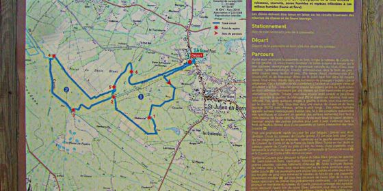
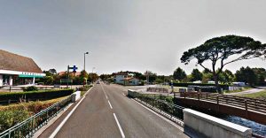
They are two routes in one, i.e. the long one (10.9 km) includes the short one (6.0 km). The difference is that at one point we turn right instead of following the course of the Ruisseau de Mézos to join the path back to Saint Julien.
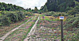 The entire route is perfectly signposted, with the characteristic white plaques and blue stripes at all junctions. There are also some with a black "X" to indicate that we should not take this fork.
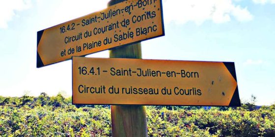
At the point where we have to choose whether to continue along the long route or turn off to follow the short route, there are even signs indicating each of the two paths to follow.
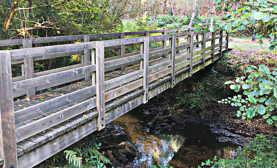
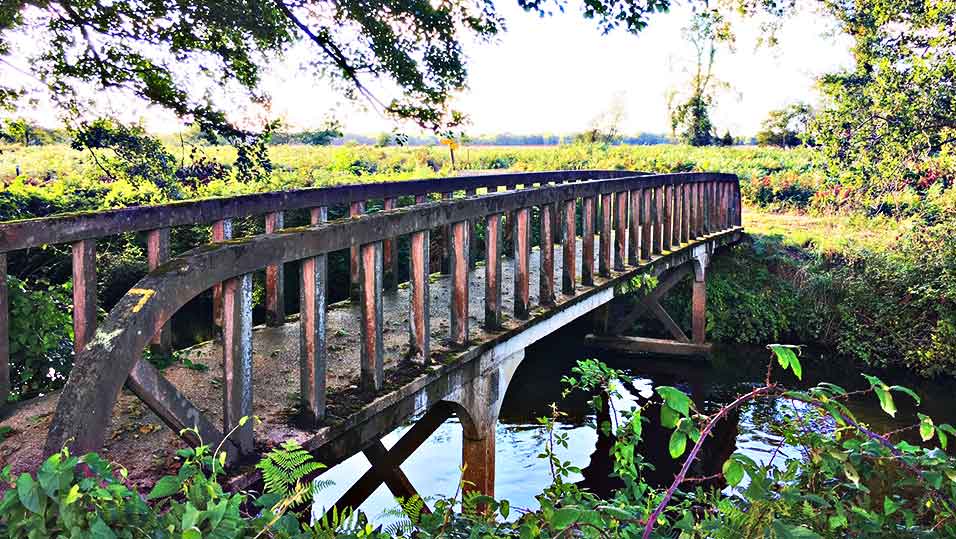
Another striking feature of this route, which runs along forest paths and, for the most part, alongside the Mézos stream, is that, even if you take the short route, you will come across up to three bridges.
We start the route next to the La Passerelle de Saint Julien campsite. Opposite the chemist's, next to the stream and next to the wooden bridge, there is a path where we can see the signpost with information about the route. From there, follow the path along the river until, a few hundred metres further on, you see the signpost telling you to turn left and enter the pine forest (and ferns, which are very abundant on this route).
The routes end at the same starting point, but on the other side of the first wooden bridge. There, and next to the sign with all the information about the routes, there is also a picnic table next to the river, the perfect place to recharge your batteries.
Links to download the route:
Saint-Julien-en-Born, circuit du Courant de Contis et de la Plaine de Sable Blanc.kml
Saint-Julien-en-Born, circuit du Courant de Contis et de la Plaine de Sable Blanc.gpx

