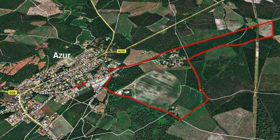
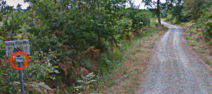
Azur is a small village located a few kilometres north of Soustons and next to the lake (Étang de Soustons). This route (pictured left) is 6.4 km long and completely flat. It starts in Azur itself, at the junction of Rue Gaston Nougaro and the D-378, where the Espace François Mitterrand is located (pictured right), and runs along several sections of the old railway line in this part of the Landes area.
Except for the first and last sections, which run along Rue Gaston Nougaro, the route runs along country roads through the pine trees.
The whole route is indicated by beacons that show the way to follow, so you have to be very attentive to these indications.
To see the exact route in detail, this is the link from which you can download the .kml file to view it with the Google Earth application:
Circuit sur les traces de l'ancienne voie ferrée.kml


